|
|
|
|
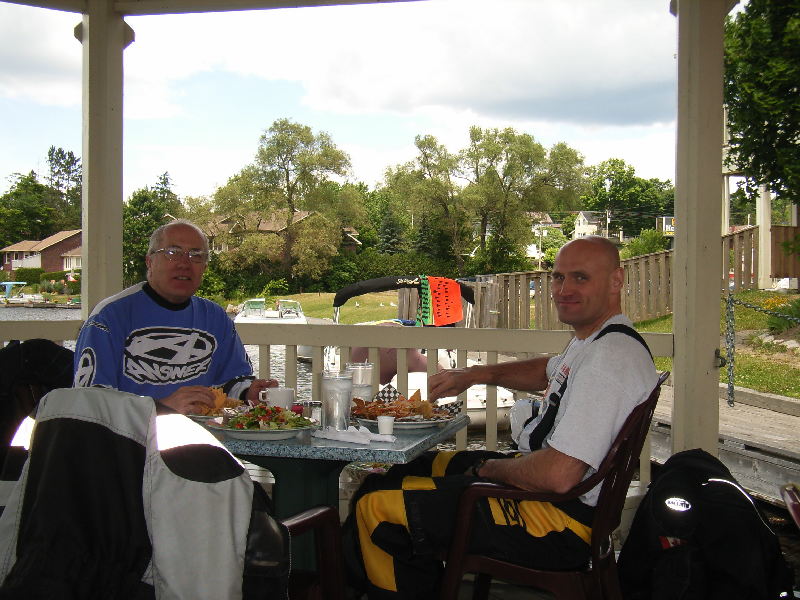
DS Adventure Ride - Algonquin Park - July 2-4, 2007
I'd been planning to ride around Algonquin Park Boundary for quite
a while. Most of the southern and western roads and trails were familiar
to me but I'd never been on the north and east sides. This trip was
to be more of an exploration of these areas, rather just following a preset
route - mainly because I didn't have one! It was posted on the ODSC
Rides Forum - both Clinnt and Rick had time off work so they joined the
ride. We met at 7:30am in Whitby and decided to get up past the Huntsville
area without too many detours - we would head for the trails after Burk's
Falls.
Rally Connex had a couple of trips around Algonquin previously, but
I'd never attended (guess the $1200 entry fee put me off), so I was planning
this ride from maps without knowing if the roads/trails even existed.
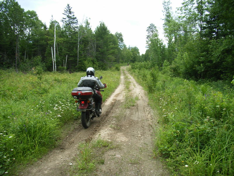
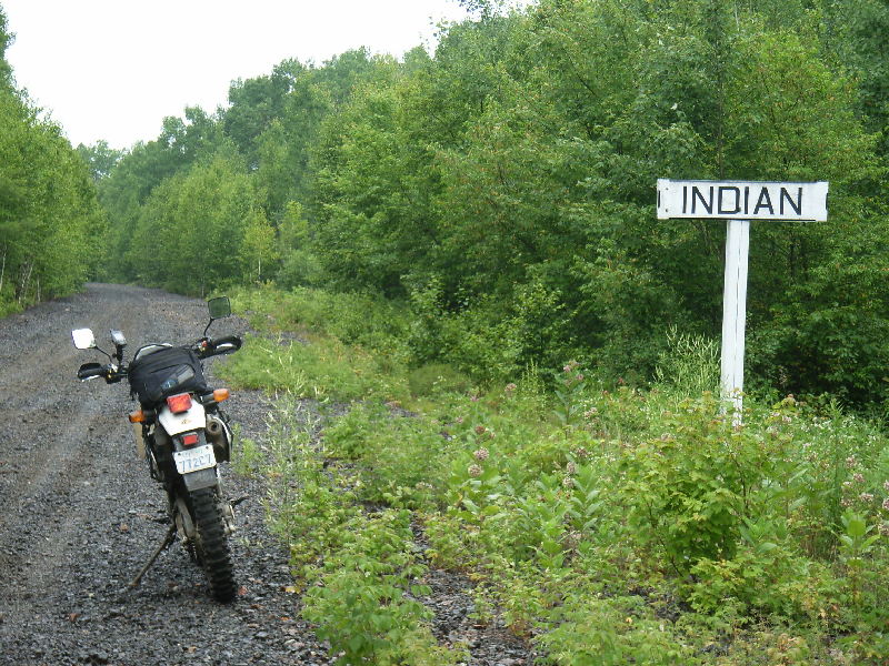
Would you believe that all these places below are shown
on Garmin Mapsource MetroGuide as "ROADS" - you could have ridden this
entire section on "Autoroute - Follow Roads" !!!!
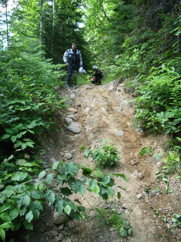
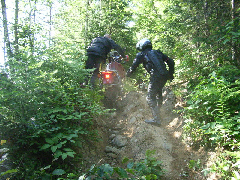
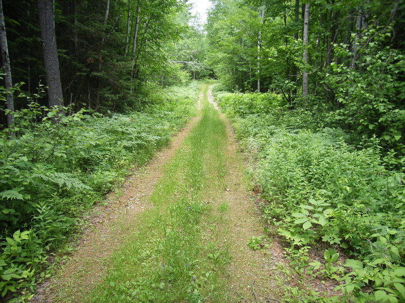
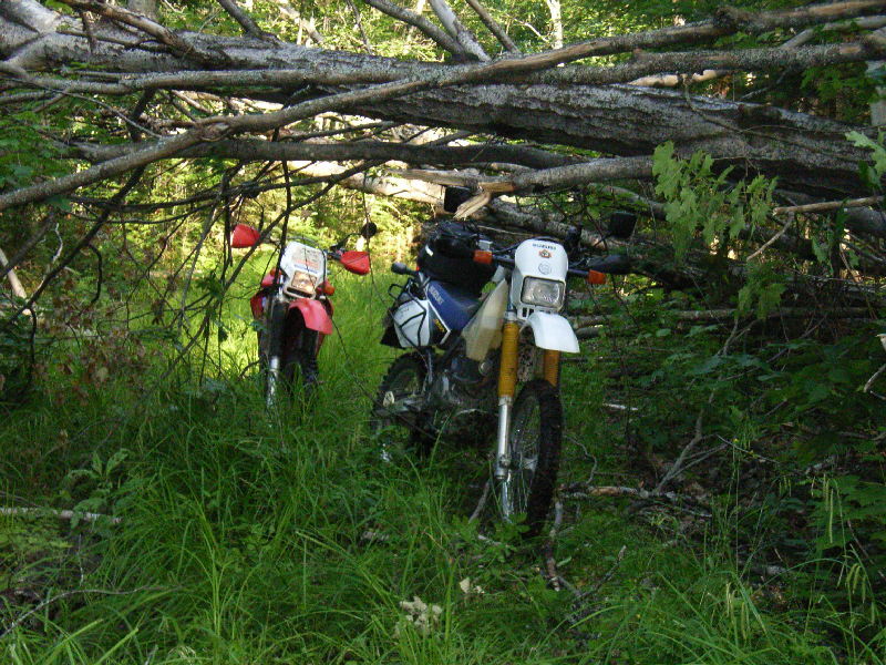
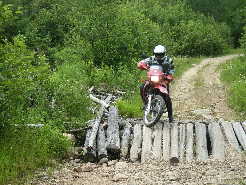
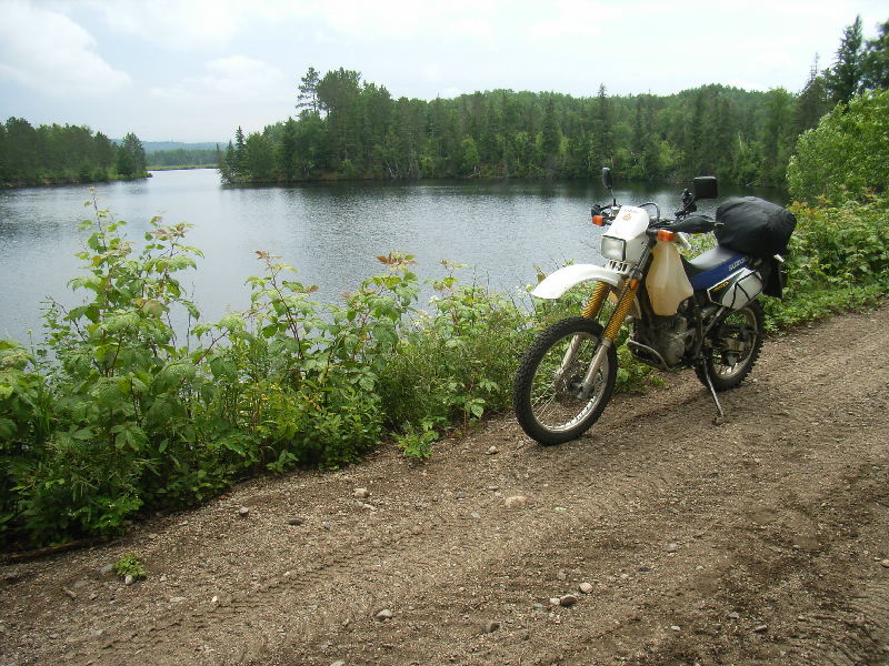
Fortunately there had been a lot of trail clearing evident after last
summer's big storm with many huge trees cut through where the trail had
been blocked. The trail between Deux-Rivieres and Bissett Creek hadn't
been cleared of fallen trees and we eventually gave up and back-tracked
this section.
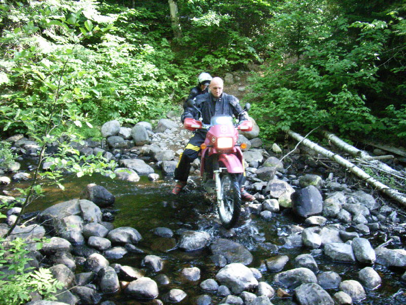
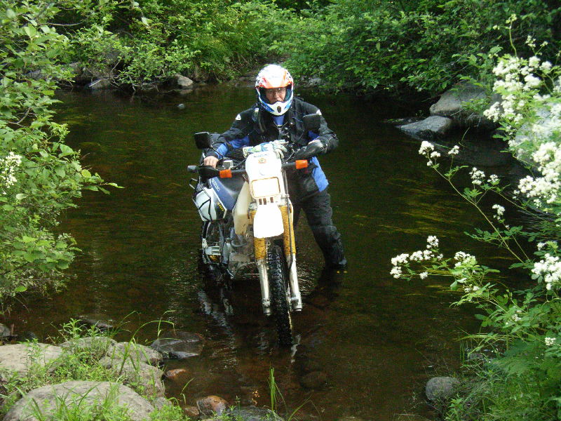
Tried to cross into Quebec at Deux-Rivieres to ride some logging roads
but the ferry was temporarily out of service (Note: It only operates 8-11am,
2-4pm, and 6-9pm). Our only option now was to continue on Hwy 17
(TransCanada Hwy) to Rolphton where the next access to Quebec should be.
Unfortunately that bridge across to Ottawa river only accessed the Rapides-des-Joachims
ZAQ - a Provincial Park for fishing, hunting and ATV/bike riding - so our
options became further limited as it was late in the day and not worth
paying the day fee. We decided to say overnight in Rolphton and ride
there in the morning. The weather man had different plans and Wednesday
started off extremely wet so we had a late breakfast and decided to head
back home on the pavement. Fortunately there was only a 70% P.O.P.
and just as we left we entered the other 30% zone and stayed dry all the
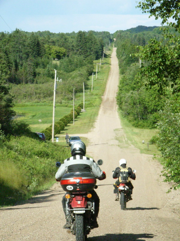
way home! No need to stay on the pavement so we reverted to the original
DS Route and covered some really nice backroads, rail trails, ATV trails,
and even paved roads. Made it back to the crossover point on our
route - Sebright, just east of Orillia - at 6pm.
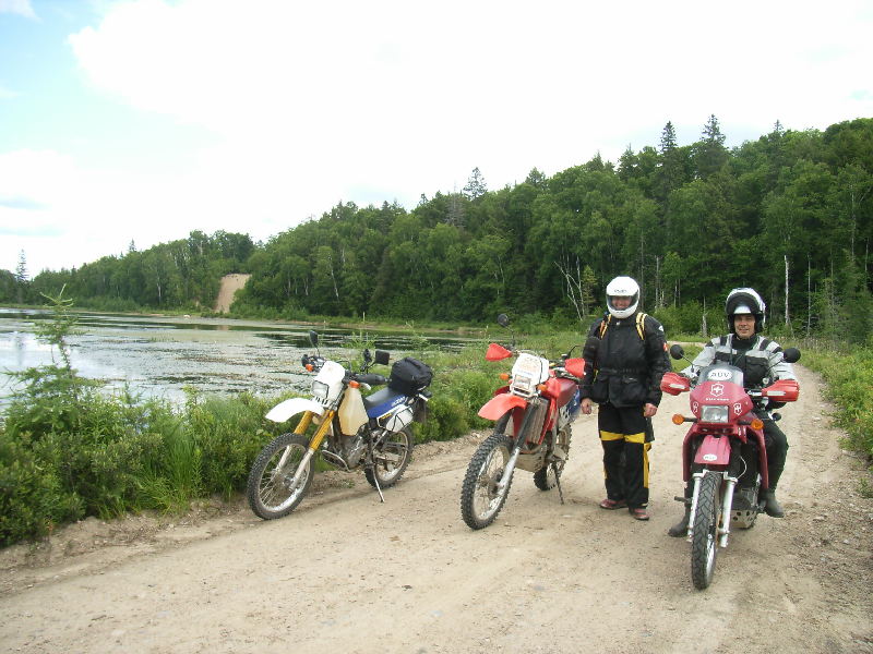
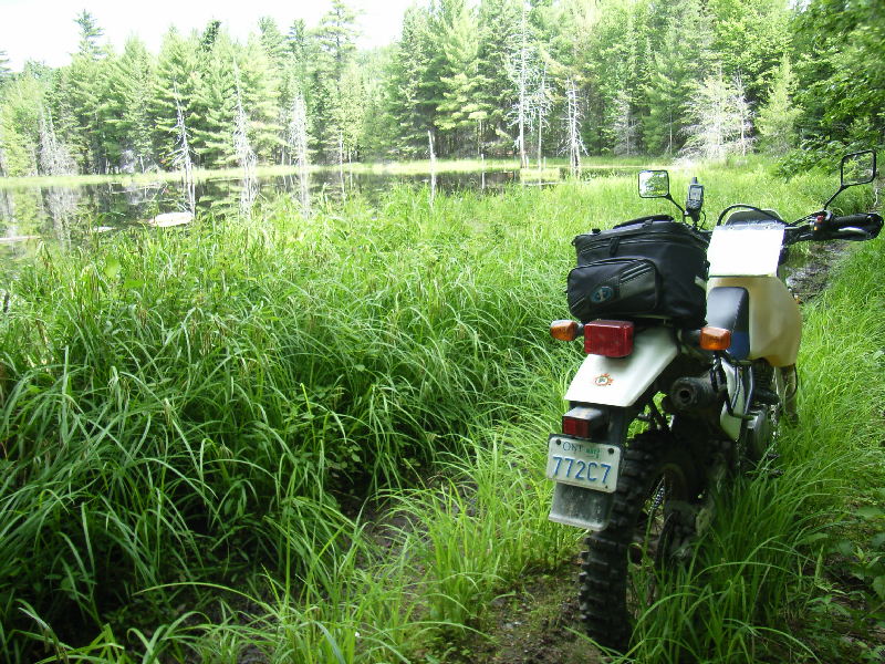
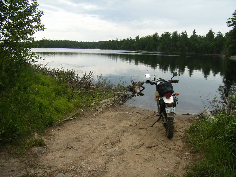
Overall impressions - great trails around most of the park, but not many running around the boundary - most are spur trails into the park and hence not open to bikes - more exploring needed in the N.E. part - definitely an interesting DS Adventure ride. We started with a KLR650, a XR650R and my DR350SE, but Rick had a change in personal plans on Tuesday and had to return home early. The few rougher sections we encountered were probably rideable on most DS bikes. I left home in Burlington at 6:30am on Monday and was back by 9pm Wednesday and 1500 Kms later. Total cost - $195 ($60 motels, $77 gas, $58 food). Pretty good value, but I did notice the XR650R was using about twice the gas I was - my overall consumption was 69mpg - the QEW/401 section at 130kph only got 59mpg but on the trails I was running at 75mpg. I'd like to try this ride again later in the summer.
|
This page last updated on July 10, 2007