|
|
|
|
Hatfield McCoy Trails, West Virginia - April 25-29, 2007
| Several Members on the ODSC website talked about the off-road trail
system in West Virginia and gave it great ratings. A group was heading
down at Easter but a chance arose to take a mid-week trip with Dennis Lever
so we decided to do it conditionally - we'd check the weather a
few days before and head down if it looked good. The weekend the
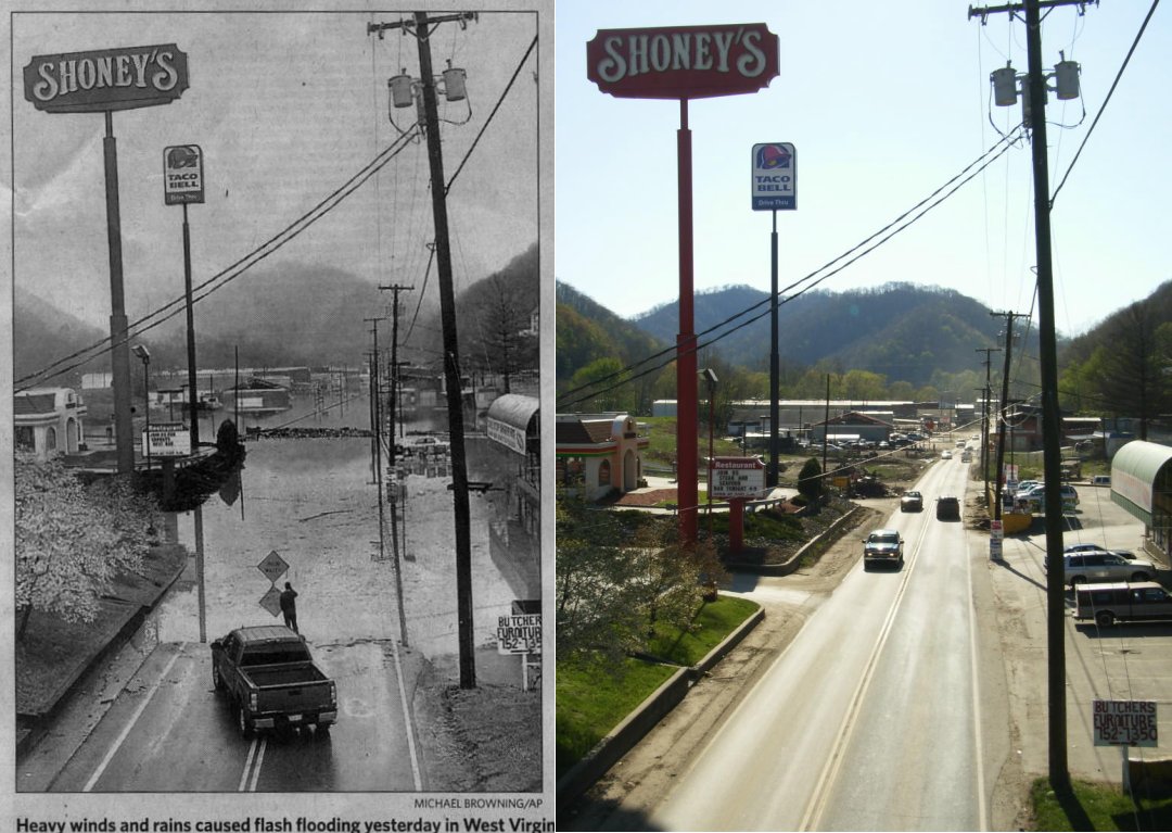
ODSC guys were there, a huge storm went across most of the Eastern USA
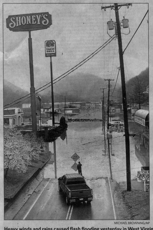
and we wondered what happened. Monday Toronto Star had this picture
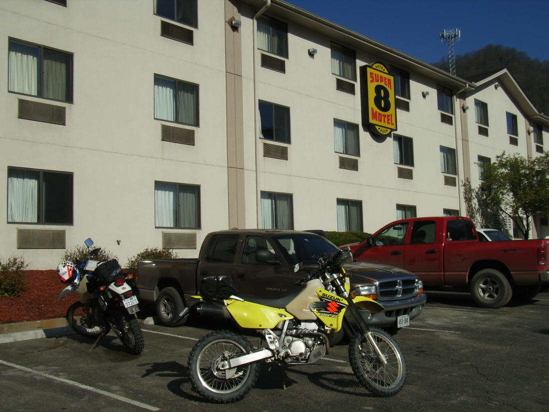
I'd just booked our hotel, the Super 8 in Logan, WV, a few days earlier
and asked about restaurants. "We have a Shoney's and a Taco Bell
right at the door" they said. Well, we decided to go anyway and, sure enough,
it was our hotel but fortunately the waters had receded and we had great
weather there. Look at the "Before/After"
picture. Turns out we made a good choice - the hotel is centrally
situated for most of the spread out trail system, it was only $58/night
and they offered free Hi-Speed Wi-Fi.
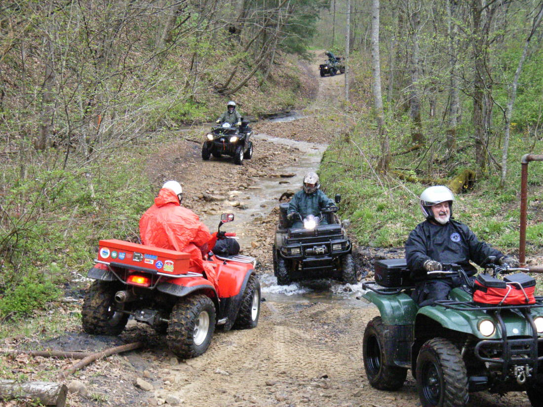
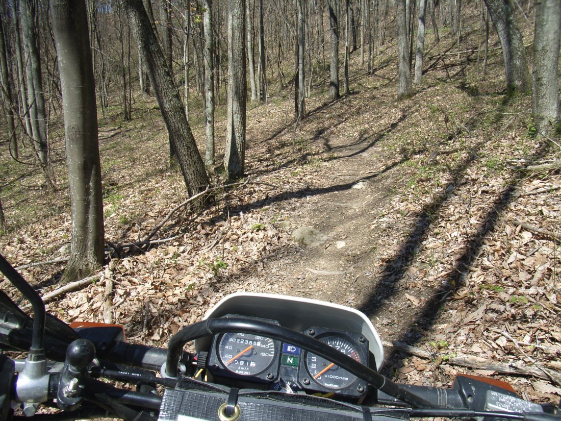
The Hatfield McCoy trail system comprises 6 separate
riding areas - all on private land, mainly owned by mining and logging
companies - check out their website here..
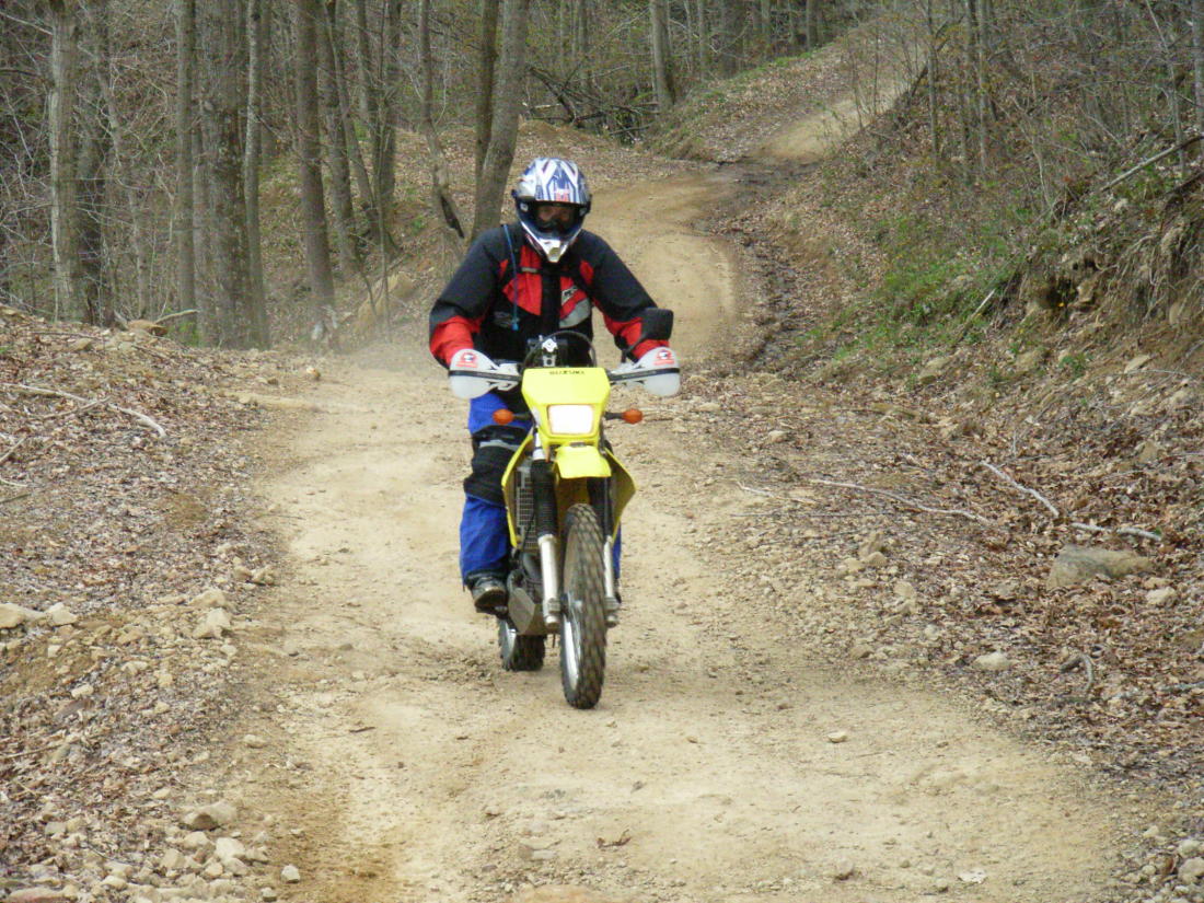
There's a great variety of trails for everyone from novice to expert, with
all the trails being well mapped and signed. It's really impossible
to get lost there so leave your GPS at home (I may as well have, as I forgot
my RAM mount and could not use it!) - the printed maps are so good, and
they are available at each area showing the trails open that day.
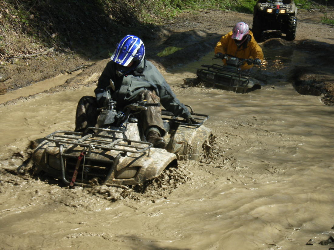
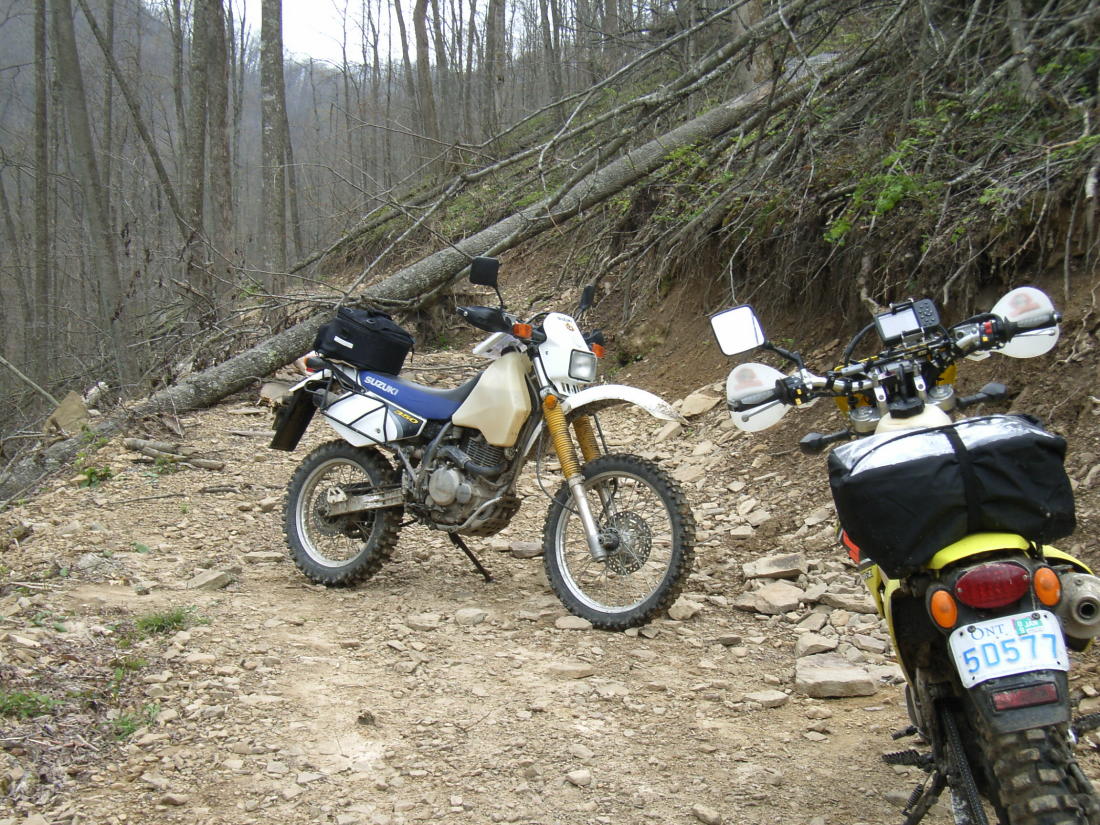
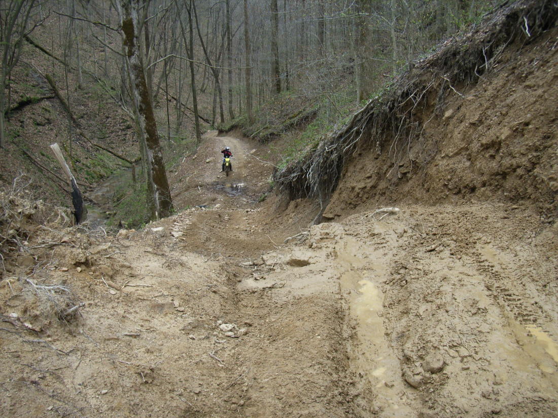
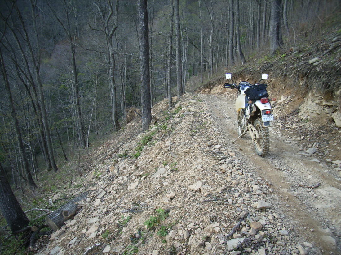
The storm that went through the previous weekend had caused a lot of damage
and flooding, resulting in some areas being closed and some trails being
"open, with caution". The areas are so extensive that we really weren't
inconvenienced.
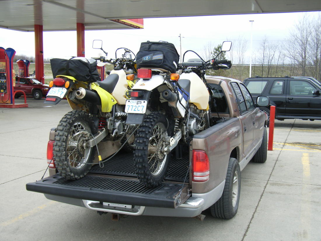
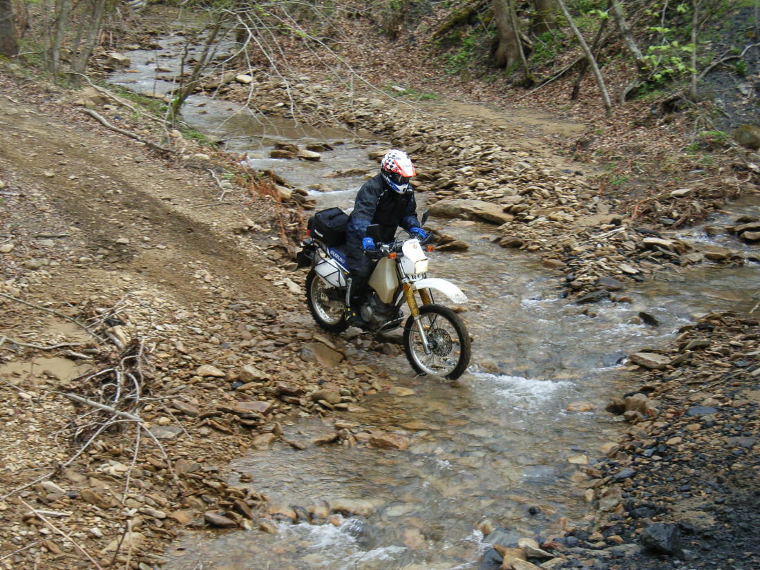
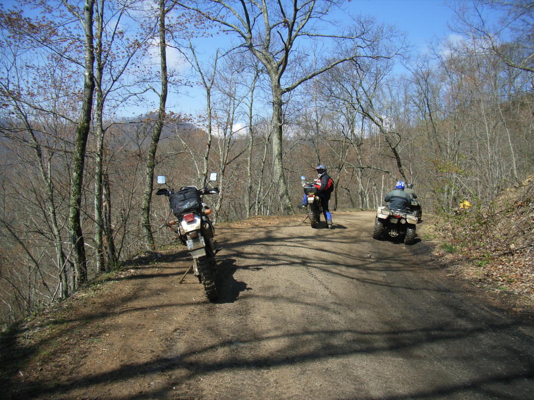
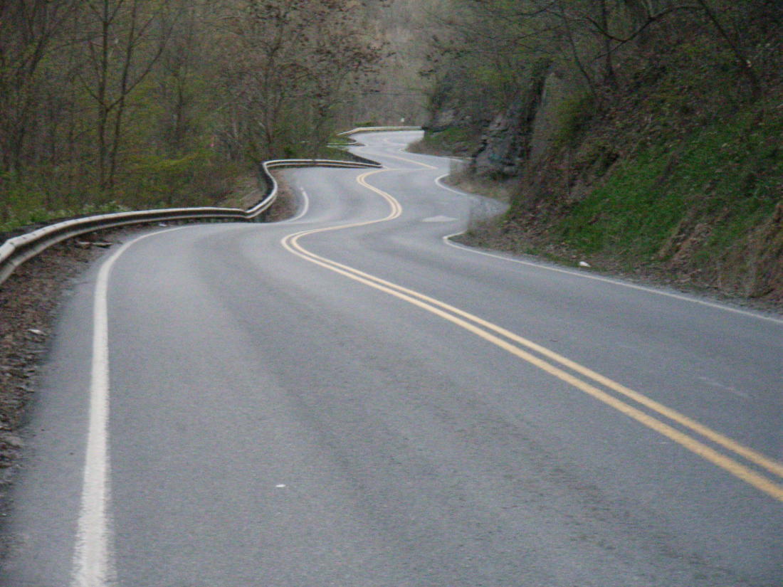
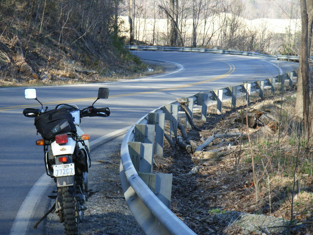
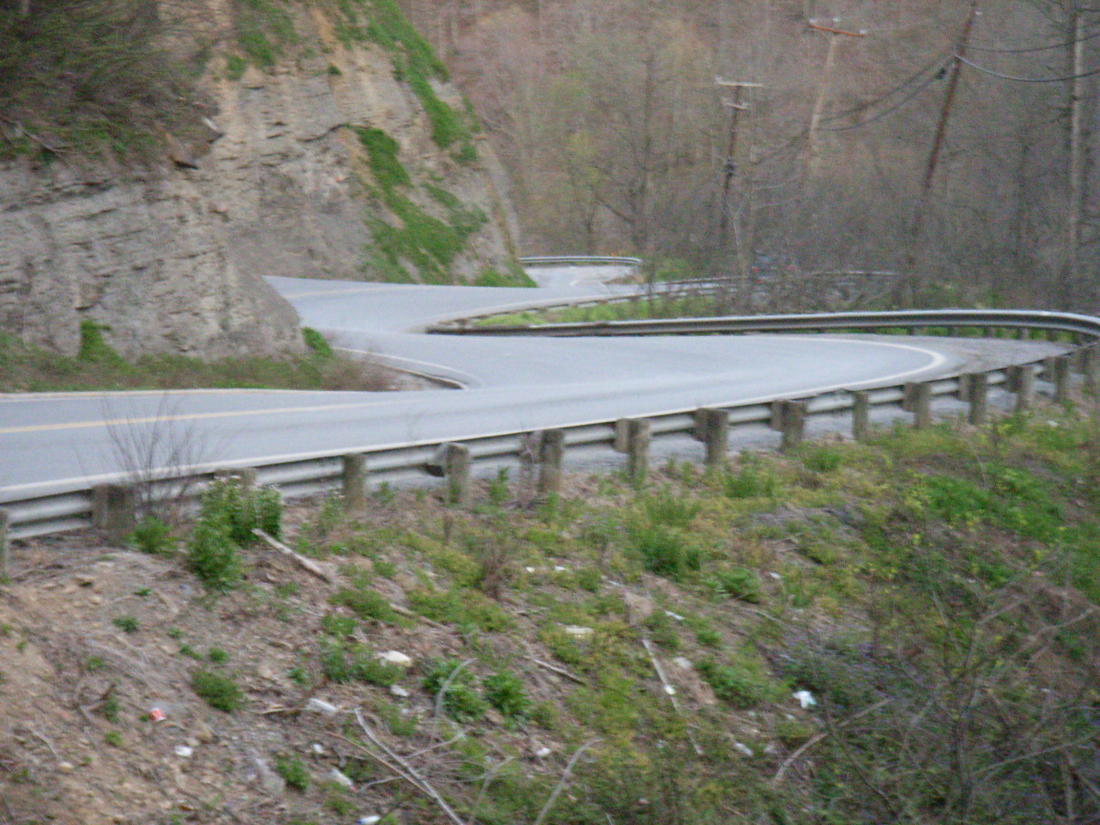
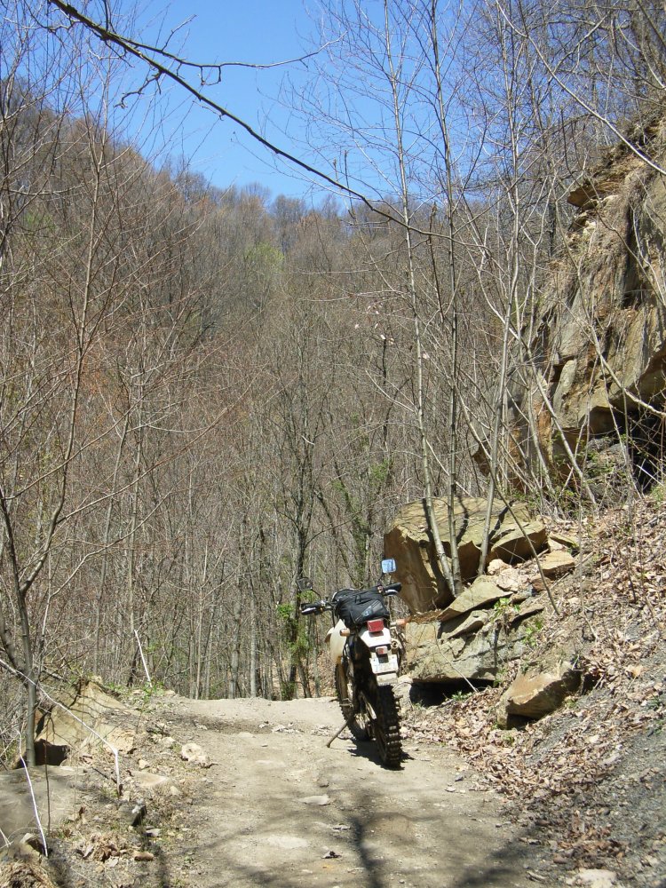
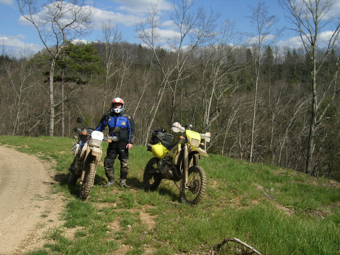
Most riders trailered their bikes to the different
areas but we were able to ride there and I found most of the roads were
more fun than many of the trails. I'd gladly go back there on my
V-Strom and stay on the pavement!
The storm on the previous weekend had caused a lot of damage and many
sections were completely closed to all traffic, according to their website.
If you checked at the Ranger Office you found which areas were passable
with caution. Actually, when buying a Trail Pass you must sign a
waiver and all riding is at your own risk and they don't require vehicles
to be insured!
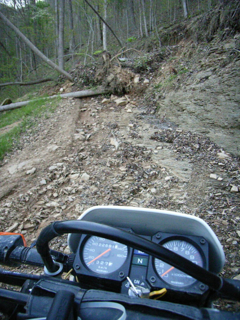
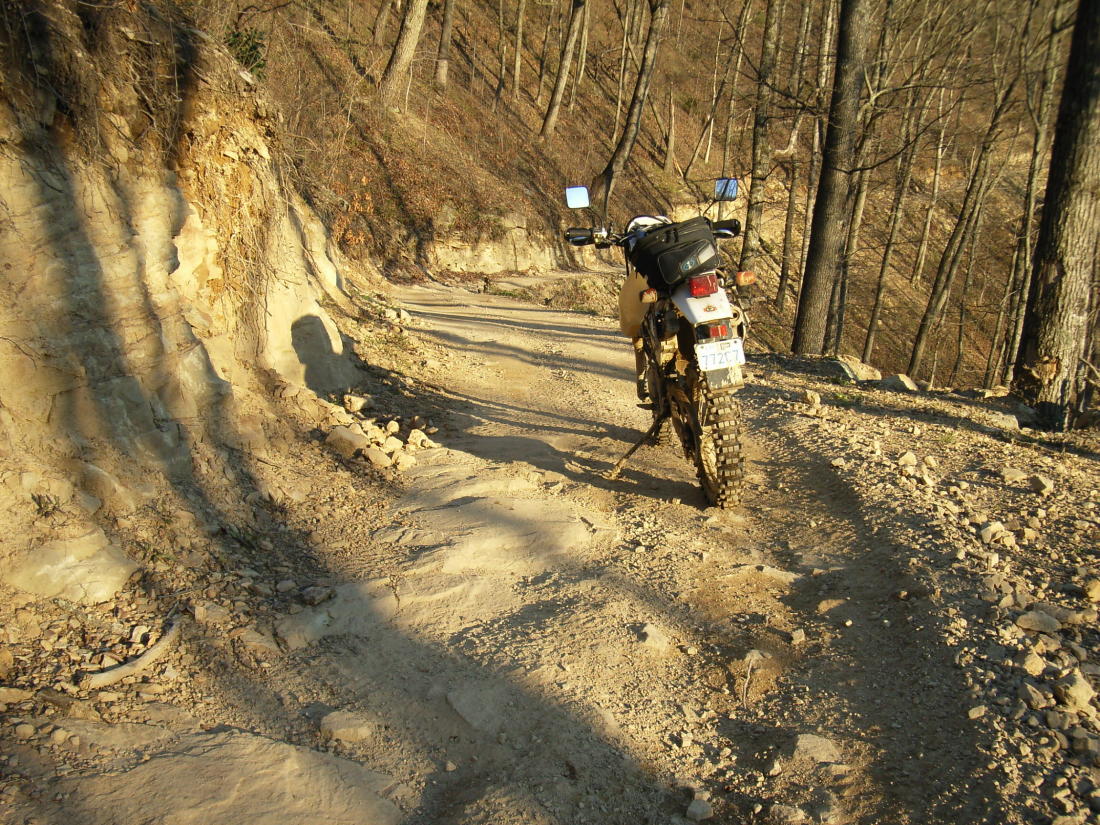
We rode Dingess Rum trails on Thursday, Browning
Fork, with a side trip to the Buffalo Creek flood Disaster site, on
Friday morning and Pinnacle Creek later in the
afternoon. On Saturday we went north to Little
Coal River , and then I headed over to Buffalo Mountain after Dennis
decided to quit for the day, as we were heading home the next day.
Overall observations: an excellently managed trail system with
lots a variety of trails to suit all riding levels. Reasonably priced
at $18 for a day pass and $39 for 3-7 days and $80 for an annual pass.
WV residents get their annual pass for $27! Many of the riding areas
are heavily wooded and there are surprisingly few scenic overlooks - if
your riding involves "smelling the roses" you may grow weary of riding
seemly similar looking trails all day. If you are riding Dualsport,
then try riding between the different areas, the paved roads are amazingly
good. On a saftey note, be aware there are many ATVs on the trails
and you may meet one, or another motorcycle, head-on around any corner.
Insurance is not required to ride there and you are entirely at your own
risk. Would I go again? Probably not, there are equally good
trails in Ontario if you know where to look :-)
|
This page last updated on July 10, 2007